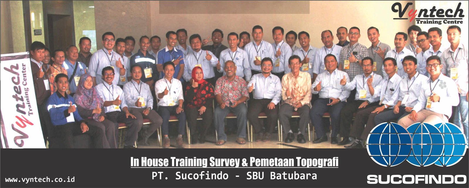
Silabus bahasa indonesia –> Training Topographic Mapping and Survey Toponymy
“The Strategic Marketing Plan: Designing an Integrated Marketing Strategy to Increase Business Competitiveness and Growth”
Description
Topographic maps are widely used in the geological survey in which these maps include contour lines of a region that describe the shape and elevation of the land and provide 3-dimensional information of a region on the surface of two dimensions. While the toponymy is a map of appearance of the earth that illustrates the relief of the earth’s surface terrain in 3 dimensions that describe the configuration of the high and low field open earth (hypsography), so human called the name of elements of the terrain so various as mountain, hill, valley, plain, beach, river, sea, lake, strait, headland and islands in the form of land, surrounded by water or the sea which is always at the top surface high water or drowning. Toponymy role not only for mapping purposes but is also related to aspects of economic, social and cultural rights in an environment or area. This training will provide insight into the role of Topographic Mapping and toponymy in a geological survey.
Objectives
After following the training, participants are expected to:
-
- Understanding the importance of topography mapping and toponymy
- Analysis and Identification topography with properly
- Do the analysis and provide solutions to problems of geography that arise due to the construction
- Analyze and present the data and communicate the results and conclusions in the context of the original problem of mapping topography and toponymy
Outline
- Introduction to Topographic Mapping
-
- Definition of topography and its importance.
- Applications of topographic mapping in various fields.
- Basic Survey Techniques
-
- Measurement and data collection methods.
- Tools and technologies used in topographic surveys (total stations, GPS, etc.).
- Using GIS Software
-
- Introduction to geographic information systems (GIS).
- Application of GIS in topographic data analysis.
- Data Analysis and Interpretation
-
- How to read and interpret topographic maps.
- Data processing for survey reports.
- Case Studies and Field Practice
-
- Application of theory in real-life situations.
- Practical experience in collecting field data.
- Latest Trends and Technologies
-
- Innovations in mapping and surveying.
- New opportunities in the mapping industry.
- Common obstacles and solutions in implementation.
- Case studies and discussions
Participants
Personnel who can attend the training:
-
- Staff / Supervisor / Manager or the upper level of government and private agencies that need this training
- Professionals and practitioners working in the field of Geology Consultant, Urban Consultants, Spatial Consultant, Demography and Social Consultant, etc.
Venue
-
- Ibis Styles Hotel Yogyakarta
- Ibis Styles Hotel Malang
- Quest Hotel Darmo Surabaya
- Harris Seminyak Hotel Bali
- Gino Feruci Hotel Bandung
- Dreamtel Hotel Jakarta
- In House Training*
- Online Training*
The Facility
Training Modules, Certificate, Training Kits, Coffee Break & Lunch, Souvenir
For complete information and to get special offers, please contact customer service
click to chat with Whatsapp
or please fill out the form below